
On a relief map of southern India, find Coimbatore and Palakkad. Use the colour key to identify higher ground in the Western Ghats. Look between the higher areas for a lower passage. A gap can be broad enough to contain settlements and roads. Draw a line marking its general position.
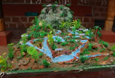
Make two ridges by folding sheets of paper and leave an opening between them. Move a finger along the low passage and then across a ridge. Compare the model with the relief map. The folds make the idea visible but exaggerate the steepness. Keep the map key beside your model when explaining it.