
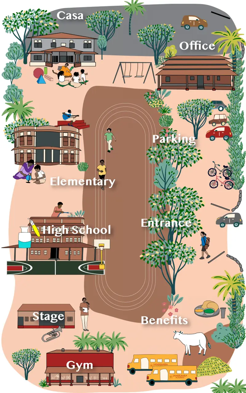
Use strips of paper to lay out four streets in a grid. Place a school at one corner and a shop at another. Trace two different journeys between them. Now remove one connecting strip and make a short lane that ends at a building. Ask which journeys can still be completed.
Compare the model with a map of a familiar area of Coimbatore. Find a through street and a lane that appears to end. A map may omit a pedestrian passage, so record what the map shows and leave access to be checked locally. Ask how each pattern changes a visitor’s choice of route.